
3,000 Acres of Prime Consented Land Available – 3GW+ Electric Capacity – Ideal for Renewable Energy, AI Data Centres or Industrial Use
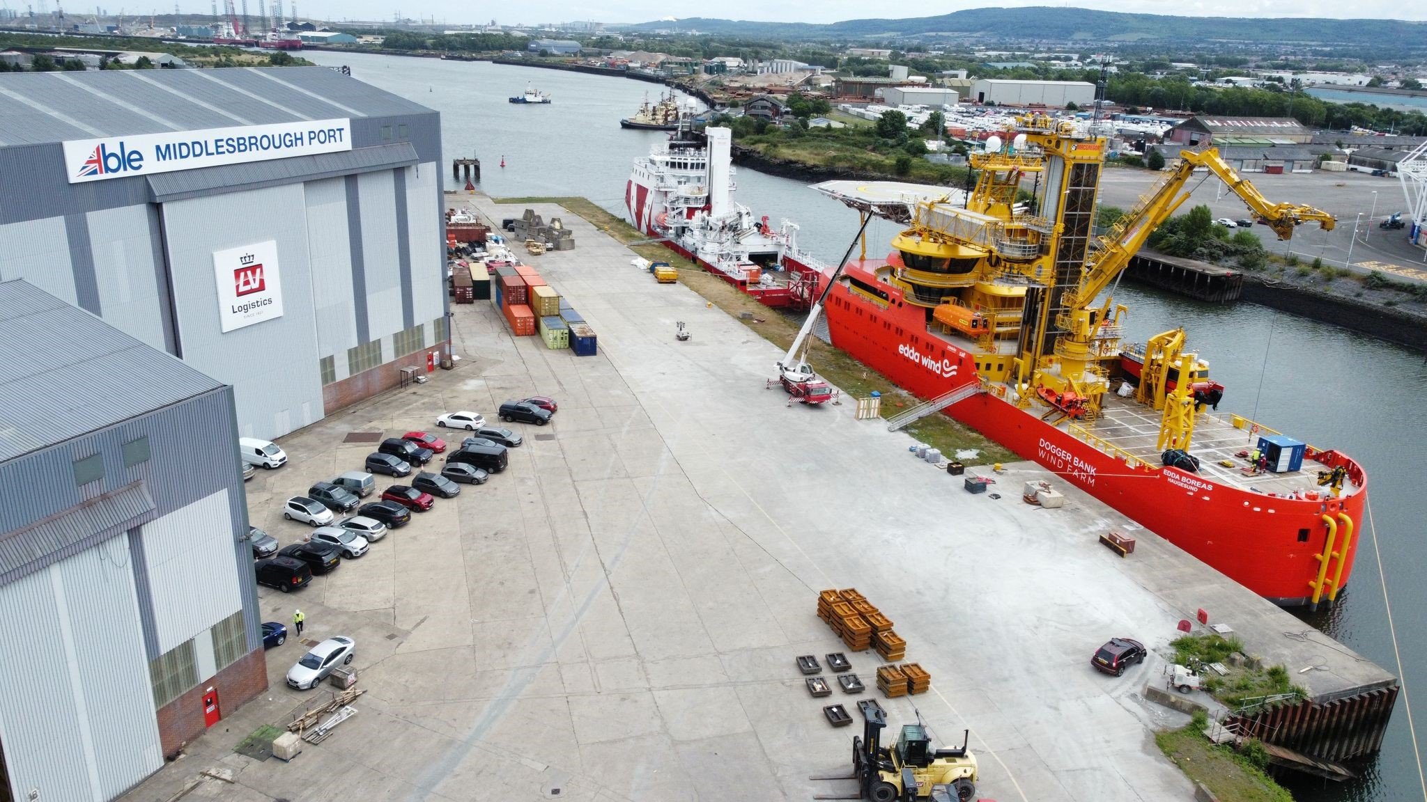
Offshore Wind Marshalling Yard, Assembly and Installation Ports for the Worlds Largest Wind Farms Enabling 8GW of Renewable Energy
Recycling 600,000t of World Renowned Structures Supported by Renewable Port Services, Heavy Plant, Equipment & Skills

Latest Updates
Featured
Able Videos
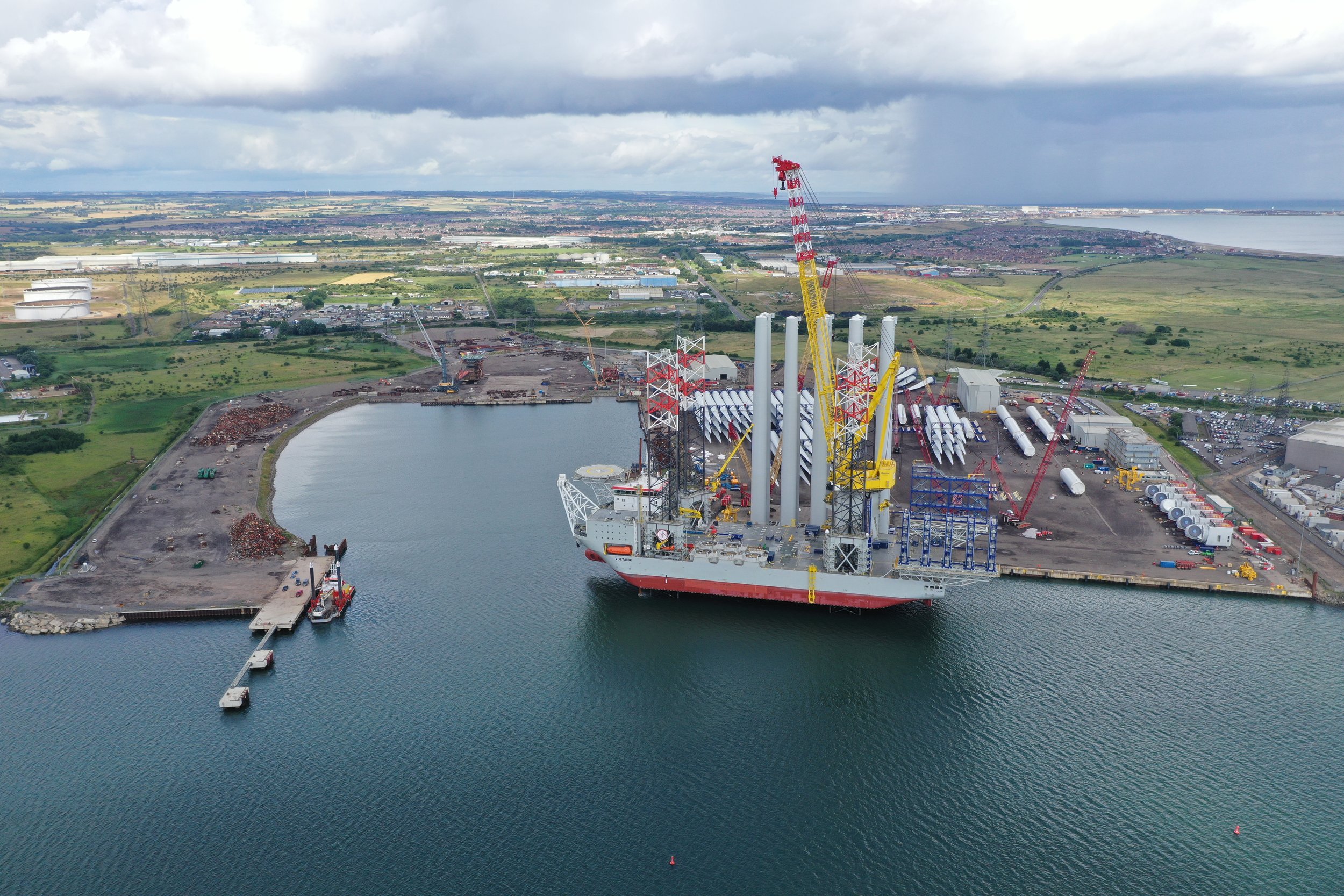
Able Seaton Port (ASP)
Able Seaton Port is capable of handling all offshore construction vessels and has significant crane capacity and quays constructed to suit the requirements of the offshore wind installation and marine recycling industries.
Learn More
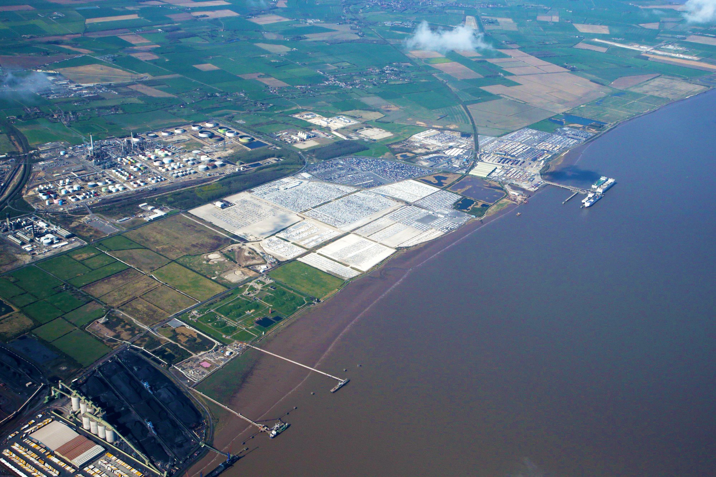
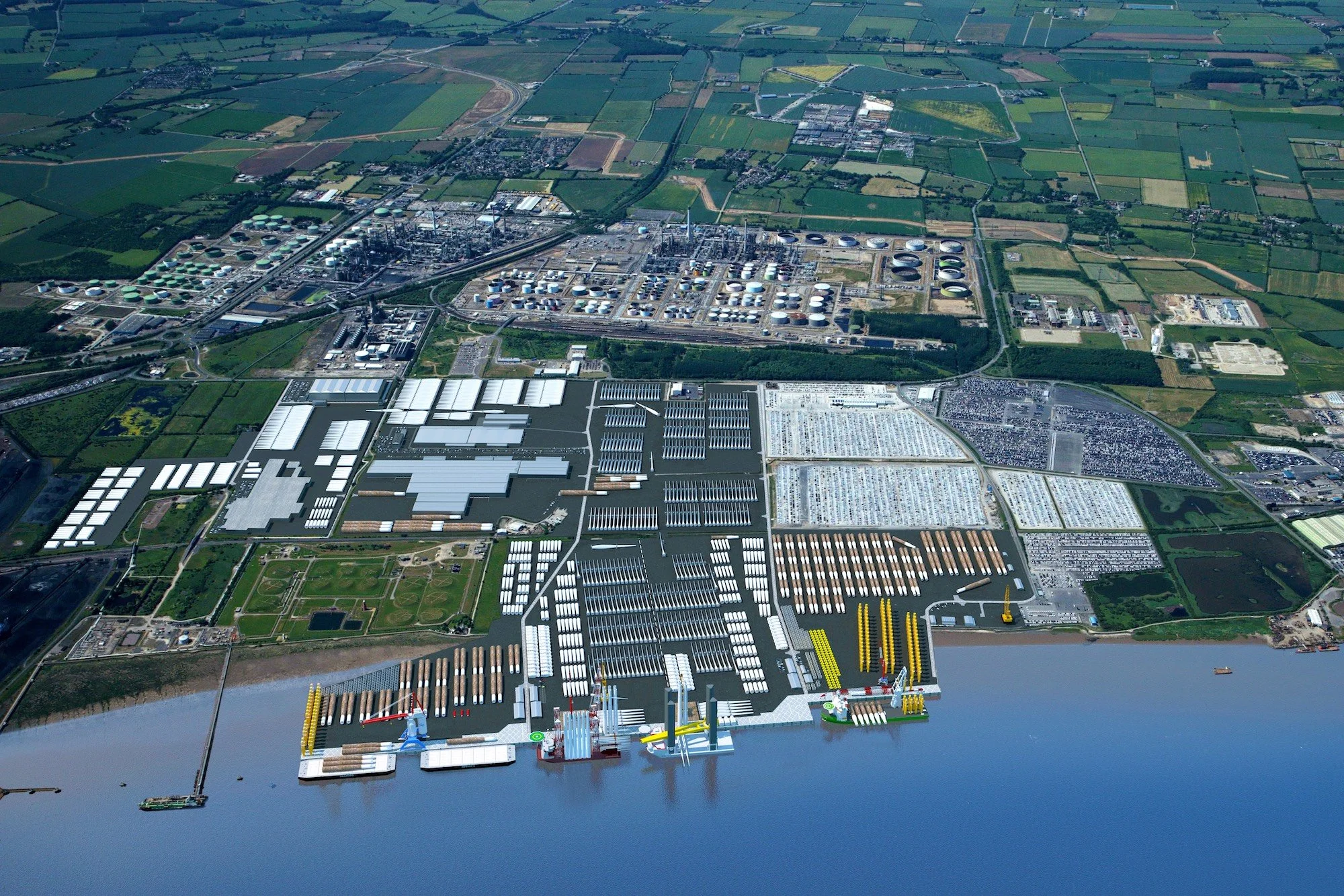
Able Humber Port (AHP)
Able Humber Port is Europe's largest new port development and the UK's largest Enterprise Zone. A strategic location in the UK Governments National Renewable Infrastructure Plan, the port provides an exciting proposal for the burgeoning marine renewable energy sector.
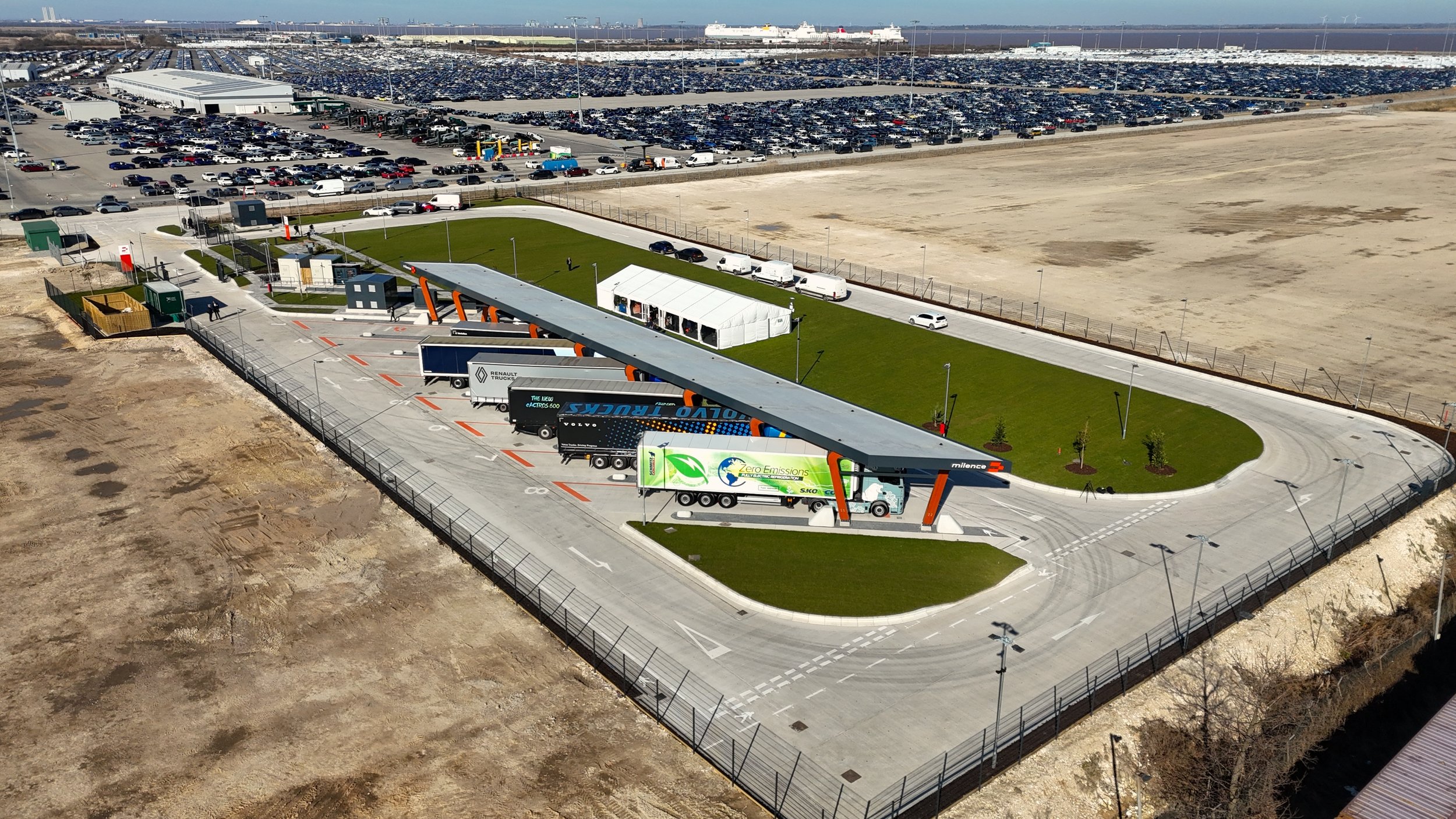
Able Operations
Our Operations have a number of complimentary service divisions operating across a multitude of sectors, from Multi-User port facilities to major Land Developments. Find out more about the Able Operations that can assist your company.